Make an ocean map
Create a hand drawn ocean map showing coastlines, currents, depths, and sea creatures; learn map symbols, scale, and basic oceanography while decorating safely.


Step-by-step guide to make an ocean map
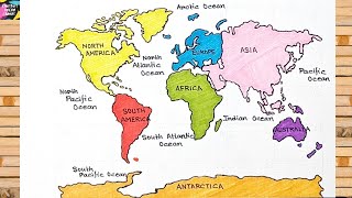
DIY Continents and Oceans Model for Kids | Easy Continents and Oceans School Project
Step 1
Gather all your materials and find a clear flat spot to work.
Step 2
Decide if your ocean map will show a real place or a made-up ocean.
Step 3
Write a short title at the top of your paper that tells people what your map shows.
Step 4
Lightly sketch the coastline and any islands with your pencil.
Step 5
Draw a compass rose in a corner to show which way is North.
Step 6
Decide on a map scale and draw a small scale bar using your ruler.
Step 7
Create a legend by choosing simple symbols for features like ports reefs and volcanoes and drawing a small box for them.
Step 8
Write each symbol and its meaning neatly inside the legend box.
Step 9
Add depth zones by drawing contour lines or shaded bands to show shallow mid and deep areas.
Step 10
Label each depth zone with a number or range to show how deep it is.
Step 11
Draw ocean currents with arrows to show the direction the water moves.
Step 12
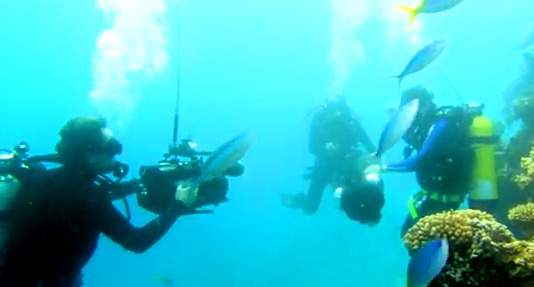
Draw sea creatures where they live on the map (near coasts or in deep water).
Step 13
Label each sea creature with its name beside your drawing.
Step 14
Trace over your pencil lines and symbols with the black marker and then color and decorate your map safely using your colouring materials.
Step 15
Share your finished ocean map on DIY.org
Help!?
What can I use if I don't have a black marker or ruler?
Use a dark ballpoint pen or fine-tip felt pen to trace your pencil lines instead of the black marker, and use a straight edge like a hardcover book or the edge of a cereal box as a ruler when drawing the scale bar and sketching the coastline.
My depth zones look messy—how can I make them clear?
Lightly draw contour lines or shaded bands in pencil first, use different colored pencils or shading for shallow, mid, and deep areas, write the depth numbers or ranges beside each band, and only then trace the final lines with the black marker so the zones stay neat and readable.
How can I adapt this ocean map activity for younger or older kids?
For younger children, simplify by giving pre-drawn coastlines to color and sea creature stickers to place, while older kids can add a precise map scale with a ruler, draw a detailed compass rose, label depth ranges, and research real ocean currents to plot on the map.
What are some ways to extend or personalize the finished ocean map?
Enhance your map by expanding the legend with habitat symbols (ports, reefs, volcanoes), adding a water-temperature heatmap with colored shading or texture like glued sand for beaches, plotting real port locations, and then share the finished, personalized map on DIY.org.
Watch videos on how to make an ocean map
Let's Draw Continents & Oceans!
4 Videos
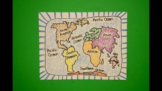
Let's Draw Continents & Oceans!
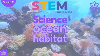
Ocean Habitats | Science For Kids Year 2 | STEM Home Learning
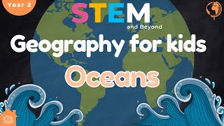
The World's 5 Oceans | Geography For Kids | STEM Home School
How to Draw a World Map Easily : Step-by-Step Tutorial for Beginners
Facts about oceanography and map skills
🌊 Around 71% of Earth's surface is covered by oceans — that's more blue than land!
🗺️ Over 80% of the ocean floor remains unmapped, so your hand-drawn ocean map is part of a long explorer tradition!
🌀 Ocean currents like the Gulf Stream travel thousands of miles and help control the world's weather and climates.
📏 Map scale shows how map distance equals real distance — a tiny line on your map can stand for hundreds of kilometers out at sea.
🌟 Many sea creatures glow with bioluminescence to attract prey, communicate, or hide in the deep dark ocean.
How do you make an ocean map showing coastlines, currents, depths, and sea creatures?
What materials do I need to create a hand-drawn ocean map?
What ages is this ocean map activity suitable for?
What are the benefits and safety tips for making an ocean map?
