How to draw a map - a free map drawing guide
Draw a scaled map of your neighborhood or imaginary island using rulers, symbols, and a legend. Practice observation and spatial thinking.


Step-by-step guide to draw a scaled map of your neighborhood or imaginary island
How to Draw a Map: Easy Step by Step Drawing Tutorial for Beginners
Step 1
Choose whether you will map your real neighborhood or create an imaginary island and pick the exact area you want to show.
Step 2
Lay out your paper and place your pencil ruler eraser measuring tape and colouring materials where you can reach them.
Step 3
Decide on a simple scale for your map for example 1 cm = 10 m.
Step 4
Write the scale clearly at the top of your paper.
Step 5
Use your ruler and pencil to draw a neat rectangle boundary on the paper to show the area your map will cover.
Step 6
Make a short list of the main places you want on the map for example home school park beach or a volcano.
Step 7
Measure or estimate the real distances between those places and write each distance in meters next to your list.
Step 8
Convert each real distance into map centimeters using your chosen scale and write the converted lengths beside the measurements.
Step 9
Use your ruler to mark those converted lengths lightly on the paper so each place has the correct spacing on your map.
Step 10
Draw roads paths buildings trees water and other features using simple symbols and straight lines for streets.
Step 11
Draw a legend box and inside draw each symbol with a short label so people can read your map.
Step 12
Colour the features using your colouring materials and make sure the colours match the legend.
Step 13
Add a north arrow and a title for your map so people know the direction and what the map shows.
Step 14
Share your finished map on DIY.org so everyone can see your scaled creation.
Help!?
What can we use if we don't have a measuring tape, ruler, or specific colouring materials?
If you don't have a measuring tape use a piece of string and a meter stick or a smartphone distance app for the 'Measure or estimate...' step, use any straight edge like a hardcover book to draw the rectangle boundary instead of a ruler, and swap coloured pencils for crayons, markers, or collage paper for the colouring materials.
How do we fix mistakes when the converted distances or spacing look wrong on the paper?
If distances look wrong after you 'Convert each real distance', recheck the math with a calculator, erase the light pencil marks you made when you 'mark those converted lengths', and re-measure on the paper before drawing roads or colouring.
How can we adapt the map activity for younger children or older kids?
For younger kids simplify the main places list to 3–4 big features, use a larger scale (for example 1 cm = 5 m), stickers for symbols, and adult help measuring, while older kids can choose a finer scale, add a coordinate grid or compass bearings, and include more detailed buildings and legend entries.
What are some ways to extend or personalise our finished map?
To enhance your map add photos or small glued models at landmarks, draw contour lines or a scale bar for accuracy, use different textures or labels in the legend, and follow the instruction to add a north arrow, title, and then share it on DIY.org.
Watch videos on how to draw a scaled map of your neighborhood or imaginary island
How to Draw a Simple Treasure Map for Kids Easy | Easy Drawing Videos for Kids
4 Videos
How to Draw a Simple Treasure Map for Kids Easy | Easy Drawing Videos for Kids
How to draw a World Map | Easy | UPDATED VIDEO!
How to Make a Map | Geography for Kids | Made by Red Cat Reading
How To Draw A Pirate Treasure Map
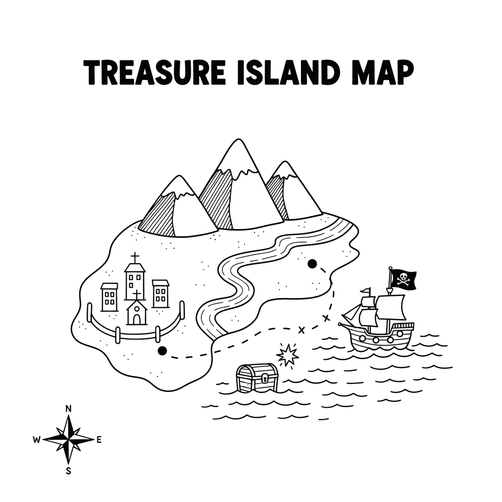
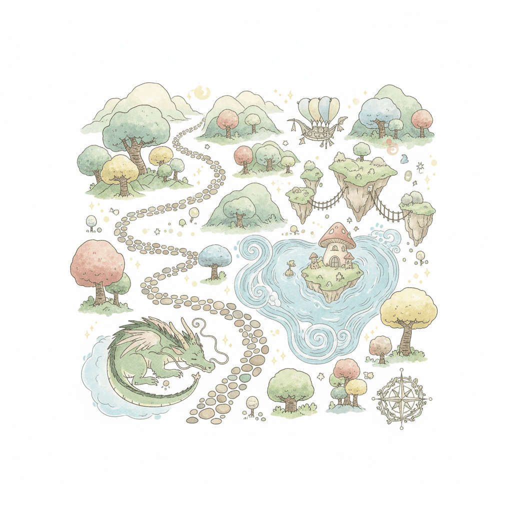
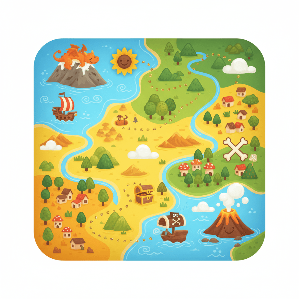
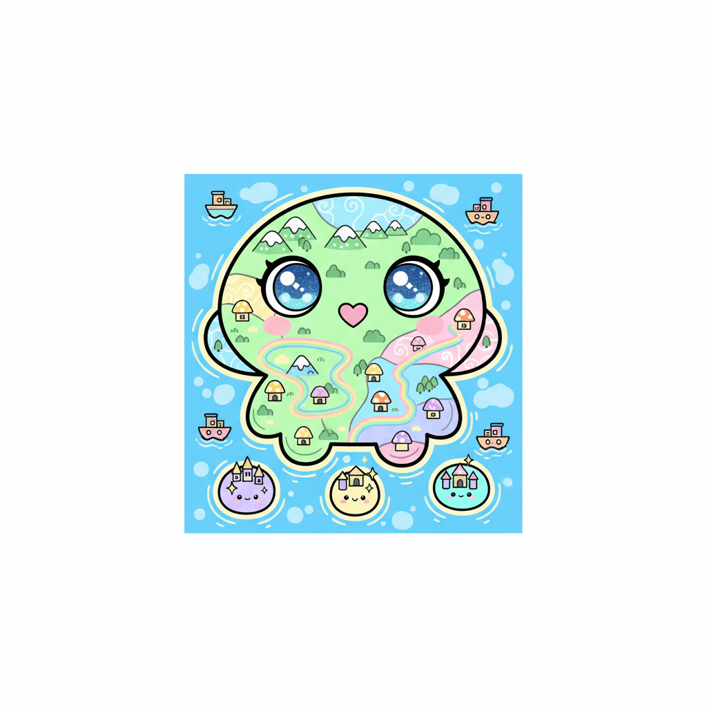
Photos of scaled maps of neighborhoods and imaginary islands


Facts about mapmaking and spatial thinking
🗺️ The oldest surviving map known as the Babylonian World Map dates to around the 6th century BCE!
🔍 On a 1:50,000 map, 1 cm on the paper equals 500 meters in real life — tiny lines can cover big distances!
🧭 Many compass roses use a fleur-de-lis symbol to mark north, a decorative trick cartographers borrowed long ago.
🐉 Early mapmakers filled unknown seas with sea monsters and imaginary islands to tell stories and warn sailors.
🗿 The word “atlas” comes from the Titan Atlas, often shown holding the world — now it means a whole book of maps.
How do you draw a scaled map of your neighborhood or an imaginary island with a child?
What materials do I need to draw a scaled map with a child?
What ages is map-drawing suitable for?
What are the benefits of having a child draw a scaled map?
