Navigation Facts For Kids
Navigation is the study of monitoring and controlling the movement of a craft or vehicle from one place to another.

Do more with AI
Introduction
Navigation is like a treasure map for moving from one place to another! 🚀It helps people find their way whether they're walking, driving, or flying. Did you know the word "navigation" comes from a Latin word that means "to sail"? 🌊From ancient explorers to today’s astronauts, navigation is very important for discovering new places. People use navigation to reach their destinations safely and quickly! It can be as simple as using a compass or as high-tech as GPS. Understanding different navigation techniques helps us explore the world! 🌍
Images of Navigation

German 16th century astrolabe

Harrison's Chronometer H5 of 1772, now on display at the Science Museum, London


Split Point Lighthouse, Aireys Inlet, Victoria, Australia


This is a stack of 10 frames taken through a 150mm Maksutov-Cassegrain telescope. Author: en:User:Mdf Source: en:Image:Moon-001.jpg 22:36, 14 July 2005 . . Mdf (


"The light of navigation", Dutch sailing handbook, 1608, showing compass, hourglass, sea astrolabe, terrestrial and celestial globes, divider, Jacob's staff and astrolabe.
German 16th century astrolabe
Harrison's Chronometer H5 of 1772, now on display at the Science Museum, London
Split Point Lighthouse, Aireys Inlet, Victoria, Australia
This is a stack of 10 frames taken through a 150mm Maksutov-Cassegrain telescope. Author: en:User:Mdf Source: en:Image:Moon-001.jpg 22:36, 14 July 2005 . . Mdf (
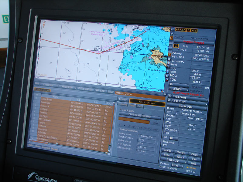
Marine Navigation
Marine navigation is all about guiding ships across the ocean! ⛵Sailors use tools like compasses, charts, and GPS to stay on course. They often check the sun and stars for help too! 🌞The ocean can be tricky with waves, storms, and currents to navigate. That's why mariners learn about tides—how water rises and falls. 🌊Special devices like depth sounders measure how deep the water is to avoid running aground. Navigation at sea is important for safe travels and finding new lands!
Types Of Navigation
There are several types of navigation that help people travel! The main types are celestial, terrestrial, and electronic. 🌠Celestial navigation uses stars, sun, and moon to guide ships and planes. Terrestrial navigation uses landmarks and maps. 🗺️ For example, a person may follow a river or a mountain! Electronic navigation, like GPS, uses satellites to give precise directions. 📡Each type has its unique ways and advantages, making navigation exciting and essential for adventurers and curious explorers!
Navigation In Aviation
Aviation navigation is how pilots fly planes safely from one airport to another! 🛫Pilots use navigation charts and GPS to follow specific routes through the sky. Important points called waypoints help pilots know the best path. 🌍Planes also have special instruments on board, like radar, to see weather conditions ahead. Air traffic controllers help pilots stay safe, making sure they have clear paths and guiding them during takeoff and landing. ✈️ Thanks to navigation, flying is both exciting and safe!
Challenges In Navigation
Navigating can be tricky sometimes! 🌧️ Weather changes, like fog or storms, can make it hard to see where you're going. 🌪️ Unmarked places, like forests or deserts, can confuse even the best navigators! Losing a map or having no GPS signal can also make it tough. 🗺️ Additionally, at night, navigation becomes more difficult as it’s hard to see landmarks. Being prepared and knowing how to use different navigation tools help solve these challenges and keep explorers safe!
Future Trends In Navigation
What does the future hold for navigation? 🤔One exciting trend is using drones for deliveries! 🚁They’ll use GPS to fly packages straight to your home! Another cool thing is augmented reality (AR) navigation, which places virtual images onto real-world views. 🖼️ This could help people find their way around unfamiliar places easily! Navigating underwater with robots is also in development. The future is full of amazing navigation technologies that will change how we explore the world more safely and creatively! 🌟
Gps And Satellite Navigation
GPS is like having a magic guide in your pocket! ✨It uses satellites orbiting Earth to help people find their way. Did you know that there are at least 30 GPS satellites floating in space? 🛰️ They send signals to GPS devices that tell us our exact location! This technology is used in cars, boats, and even smartphones. 📱It can show you the quickest route to school or your friend's house. Thanks to GPS, getting lost is becoming a thing of the past!
Importance Of Charts And Maps
Charts and maps are super important for navigation! 🗺️ A chart is a special type of map, usually for seas and oceans, showing water depths and hazards like rocks. 🌊Maps help you understand where you are and how to get where you want to go. Different symbols and colors on maps make them easy to read! 🟡For example, blue usually marks water, while green shows parks. Without charts and maps, traveling would be confusing and much riskier!
Modern Navigation Technologies
Today, we have super cool technologies for navigation! 🌐GPS stands for Global Positioning System. It uses a network of satellites to tell you your exact location, anywhere on Earth! 📍Smartphones and cars often have GPS maps that tell us where to go. Drones and airplanes also use advanced navigation systems. 🛩️ These technologies make traveling easier and help people explore new places safely! With so many tools available, navigation has become faster and smarter!
Historical Navigation Techniques
Long ago, sailors didn’t have GPS! ⛵They relied on stars, the sun, and even birds to find their way across oceans. One famous sailor, Captain James Cook, traveled the world in the 18th century using maps and a compass! 🧭Polynesians used the stars and ocean waves to navigate thousands of miles across the Pacific. 🌊Early maps were often drawn by hand and could be very different from the real world. History shows how people have always needed navigation to connect with distant lands!
Navigation Tools And Instruments
Navigators use special tools to help them find their way! 🧭A compass shows which direction is north, making it easier to read a map. Maps are like detailed guides to places! 📜Other tools include sextants for measuring angles of stars and altimeters for finding height above sea level. 📏In modern times, people use smartphones and tablets to access GPS apps! All these tools work together to ensure explorers can reach their destinations safely and efficiently.
Navigation Quiz
Learn more about Navigation
