
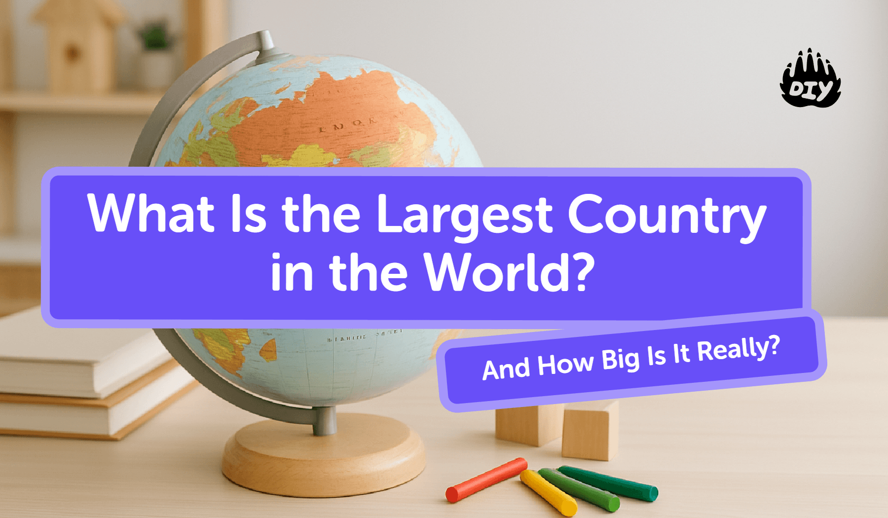
If your child just got a homework question like, “What is the largest country in the world?”, here’s the short answer:
👉 Russia is the largest country in the world by area.
It covers about 17.1 million square kilometers, which is close to 11% of all the land on Earth, and stretches across two continents (Europe and Asia) and 11 time zones.
That’s the quick fact. But what does that actually mean? How big is that compared to other big countries like Canada, the United States, or China? And why does Russia look even bigger on some maps?
This guide breaks that down in kid-friendly language so you can turn one homework question into a mini world geography lesson.

💬 Fast help option: If you’d like this turned into a simple, one-sentence answer or a short summary for your child’s assignment, they can ask the kid-safe AI Homework Helper on DIY.org to “explain the largest country in the world” in words that match their age.
Which Country Is the Largest in the World?
Meet Russia, the World’s Biggest Country by Area
When we say “largest country in the world,” we usually mean total area (land + inland water like lakes).
By that measure:
#1. Russia
Area: about 17.1 million km²
Share of Earth’s land: almost 11%
Continents: Europe and Asia
Time zones: 11
Capital: Moscow
No other country even crosses 10 million km². Russia is in a league of its own.
You’ll often see Russia at the top of “top 10 largest countries in the world by area” lists, and it’s always #1.
Why Kids Learn About the Largest Countries
Questions like “Which is the largest country in the world?” or “Name the top 5 largest countries by area” show up a lot in:
Geography quizzes
Worksheets about maps and continents
General knowledge or trivia tests
They’re easy questions for teachers to ask, but they also help kids:
Practice reading world maps
Understand scale (how big one place is compared to another)
See how country size connects to climate, time, and travel
When you know where the largest countries by area are, the world map starts to feel more familiar and less like a random puzzle.
How Big Is Russia Compared to Other Big Countries?
Top 10 Largest Countries in the World (By Area)
Here’s a simple version of the top ten, based on their total area:
Russia
Canada
China
United States
Brazil
Australia
India
Argentina
Kazakhstan
Algeria
Kids often get asked to list at least the top 5 largest countries in the world, so knowing this order is already a big homework win.
Easy Size Comparisons Kids Remember
It’s hard to picture “millions of square kilometers,” so try comparisons like:
Russia is almost 1.8 times bigger than the United States.
It’s nearly twice the size of China or Canada.
Russia alone covers more land than all of Europe.
Those lines turn abstract numbers into something a child can actually imagine.
💡 Practice idea: Ask your child to open the DIY.org AI Homework Helper and type:
“Quiz me on the top 10 largest countries in the world by area.”
The tool can generate kid-friendly practice questions and help them check their answers without spoiling the learning.
Why Maps Make Russia Look Even Bigger
Section / Idea | Explanation |
Earth is round, maps are flat | Earth is a sphere (or close to it), but maps are flat. To make a round planet fit on a flat page or screen, mapmakers have to stretch or squish parts of it. |
What is a map projection? | A map projection is a math method that lets cartographers (mapmakers) turn the globe into a flat map. Every projection changes the shape or size of some places. |
Mercator projection | One of the most common school maps is the Mercator projection. It’s very good for navigation because it keeps directions accurate. |
The problem with Mercator for kids | Mercator has a big problem: it stretches countries near the poles (top and bottom of the map), like Russia, Canada, and Greenland. |
How it makes Russia look bigger | Because of that stretching, countries near the poles look much bigger than they really are compared to countries near the Equator, like those in Africa or South America. |
Is Russia still big in real life? | Yes, Russia really is huge it’s the largest country in the world. But Mercator-style maps make it look even bigger than it is when you compare it to other places. |
Activity idea for kids | Show kids a different type of map or use an online “true size” tool where they can drag countries around the map to compare their sizes more accurately. |
What Makes Russia So Large?
From Europe All the Way to the Pacific
Russia stretches from Eastern Europe all the way across Northern Asia, reaching almost to North America across the Bering Strait. Along the way, it includes:
Forests (taiga)
Flat plains (steppe)
Mountain ranges
Tundra and Arctic coastline
That’s why you’ll hear Russia called a “transcontinental country” . It sits on more than one continent.
11 Time Zones and Many Climates
Because the country is so wide, Russia spans 11 time zones. When it’s early morning in one part of the country, it can already be evening in another.
The climate changes too:
Very cold in the far north
Mild or even warm summers in some southern regions
Snowy, long winters in many areas
All of this is shaped by its massive size on the map.
Everyday Life in the Largest Country in the World
Long Distances, Long Trips
Because Russia is so big:
Travel between major cities can take many hours (or days).
Train journeys like the famous Trans-Siberian Railway cover thousands of kilometers.
Flights across the country can feel almost like traveling between continents.
Many Cultures Across One Huge Country
A country this large also includes many:
Languages and local traditions
Styles of food
Landscapes from big cities like Moscow and St. Petersburg to small villages and remote Siberian towns
You can remind kids that **“largest” doesn’t just mean empty land it also means lots of different people and stories spread across a wide space.
Fun Size Comparisons Kids Love
Russia vs. Continents
Russia is big enough that:
It’s more than twice the size of Australia.
It’s smaller than continents like Africa or Asia, but still takes up a noticeable chunk of the Northern Hemisphere.
This helps kids understand that even though Russia is the largest country, it’s still not as large as a whole continent.
Russia vs. Pluto (Just for Fun)
Here’s the kind of fact that sticks in kids’ minds:
For a while, some estimates suggested Russia might be bigger than Pluto.
After more accurate measurements from NASA’s New Horizons mission, astronomers now think Pluto’s surface area (about 17.6 million km²) is slightly larger than Russia (around 17.1 million km²).
So you can say to your child:
“Russia is almost as big as a small planet, just a bit smaller than Pluto.”
That’s usually the moment they go, “Whoa.”
Tips for Parents Helping With Geography Homework
You don’t need to be a geography expert to support this topic. A few simple tricks go a long way:
Use a globe or online map and ask your child to find Russia.
Have them trace or outline the largest countries in the world on a map.
Compare Russia to your home country:
“Russia is about X times bigger than [our country]. Let’s look that up together.”
If they’re stuck on wording for an assignment, you can help them talk through the idea first, then have them write it themselves.
🧠 Need a little backup? Let your child open the DIY.org AI Homework Helper and ask things like:
“Explain why Russia is the largest country in the world in one paragraph.”
“Give me three fun facts about Russia’s size for kids.”
“Make a practice quiz about the top 10 largest countries.”
It’s a safe way to turn curiosity into practice.
FAQs about Largest Country in the World
Which country is the largest in the world by area?
Russia is the largest country in the world by area, at about 17.1 million square kilometers.
What is the second largest country in the world?
Canada is the second largest country by total area.
Is Russia the biggest country by population too?
No. Russia is #1 by land area, but countries like India and China have more people living in them.
How many time zones does Russia have?
Russia spans 11 time zones, more than any other country.
Is Russia in Asia or Europe?
Both. A smaller part of Russia is in Europe, where many people live, and a larger part stretches into Asia.
What are the top 10 largest countries in the world by area?
The most common list, from biggest to smallest, is: Russia, Canada, China, United States, Brazil, Australia, India, Argentina, Kazakhstan, Algeria.
